Standing on the bow of the R/V Nathaniel B. Palmer, I can feel the dense and almost warm air surrounding me. We have navigated through miles of Antarctic ice floes to reach the foggy interior of the Amundsen Sea. Here, we are on the brink of the Thwaites Glacier’s calving front, a place with the potential to cause catastrophic global sea level rise. Yet, no one has ever visited this location by ship before.
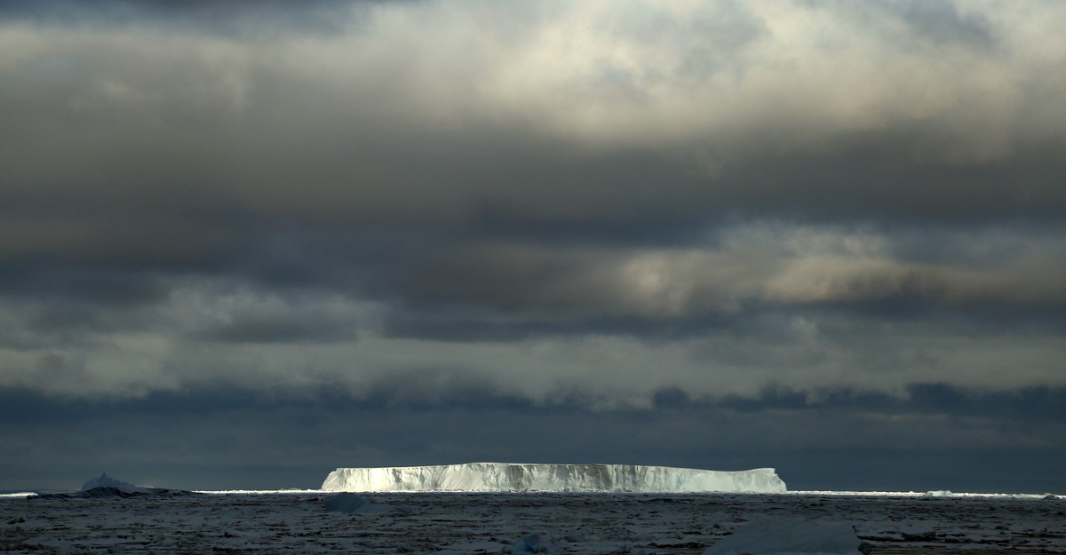
As I stand in awe, I am drawn to a half-flipped iceberg in the shape of a pyramid just off the port side. It looks like a ruined structure, partially undone by the passage of time. The portion submerged beneath the water has melted away, leaving the once-submerged ice smooth as glass.
Sleep evades me that night. I wake frequently, hoping that we have finally arrived. At 5 o’clock, I finally give in and rise. I make my way up the five flights of stairs separating my cabin from the bridge. Outside, the gray margin of Thwaites Glacier seems to waver in the half-light.
We slowly navigate along its edges, moving into small coves and rounding strange promontories. Our pace is deliberate, ensuring that we maintain this precarious position. The ice face feels as soft as sand dunes. The dawn breaks, casting a bruised light that sharpens the image before us. Other crew members and scientists join me on deck, whispering in the presence of this otherworldly sight. Finally, we lay our eyes upon the edge of Thwaites, something that was previously inaccessible by ship. It is a momentous occasion, the first time in recorded history, and possibly thousands of years, that a ship has sailed right up to the glacier’s ice front.
Rick Wiemken, the chief mate, stands attentively at the helm of the Palmer, accompanied by the captain who steers us along the unfathomably fractured and disintegrating Thwaites. If Antarctica is going to contribute significantly to rising sea levels in this century, it is likely to come from Thwaites. This is because the glacier rests below sea level, allowing warm water to melt it rapidly from beneath. Satellite imagery suggests that it loses 50 billion tons of ice each year, equivalent to the size of the Great Pyramid of Khufu 8,000 times over. To put it plainly, Thwaites alone has the potential to raise sea levels by more than two feet. If it were to completely disintegrate, it could destabilize a significant portion of the West Antarctic Ice Sheet, causing a global sea level rise of 10 feet or more. Such an increase would have devastating effects on major cities like New York, Jakarta, Mumbai, and Boston, as well as numerous other smaller but equally important areas.
However, our understanding of Thwaites and its contribution to sea level rise is still limited. As the first team to survey the calving edge of this massive glacier, our mission is to gather as much preliminary information as possible. This data will be used to refine climate change models and guide the future direction of the International Thwaites Glacier Collaboration (ITGC). Recent studies published in Nature suggest that though the underside of Thwaites is melting at a slower rate than previously hypothesized, the presence of deep and rapidly expanding cracks in the ice could trigger the shelf’s collapse. Essentially, Thwaites continues to defy our expectations, stepping outside of the script we had envisioned for it.
The majority of us spend the first day on the bridge, gazing at Thwaites in its imposing presence. We witness a slab of ice protruding over the water like the scalloped shell of a giant clam, adorned with icicles formed during recent warm days. I set up my camera to capture a series of time-lapse photos, contemplating the concept that “seeing comes before words,” as theorized by art critic John Berger. To truly see, one must also imagine being seen from the glacier’s perspective. However, in the grand scheme of the glacier’s existence, our presence is merely a fleeting blip.
Down in the dry lab, Rob Larter, the chief scientist, monitors his laptop, toggling between two aerial images of the study area. One depicts a sturdy, cohesive shelf while the other shows a shattered, fragmented scene resembling confetti. Rob explains that there has been significant iceberg release directly south of our location in the past few days, a development that surprises and bewilders him. Within me, a mixture of fear and excitement stirs, as witnessing the disintegration of Thwaites is precisely why we are here – to experience firsthand what was previously only understood through words, remote satellite images, and mathematical models.
Denial of responsibility! VigourTimes is an automatic aggregator of Global media. In each content, the hyperlink to the primary source is specified. All trademarks belong to their rightful owners, and all materials to their authors. For any complaint, please reach us at – [email protected]. We will take necessary action within 24 hours.
