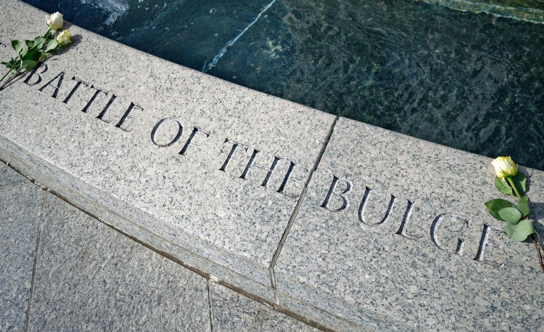

The Battle of the Bulge, fought from December 1944 to January 1945, is considered one of history’s greatest battles. This last major German offensive of World War II took place across a 500-square-mile battlefield in Belgium and Luxembourg, where over 1 million Allied troops successfully defended against attacking Germans. Despite its significance, little has been published on the material remains of the site. In a recent release, archaeologist Birger Stichelbaut explains that the area is too large and densely forested for traditional surveys. However, Stichelbaut and his colleagues found a solution in aerial drones. By using drones equipped with pulsing lasers, they were able to digitally map a section of the battlefield and discover more than 1,000 features, including bomb craters and artillery placements.
The researchers surveyed small sections of land with a high-resolution laser detection and ranging technology. This allowed them to see through the thick tree cover and observe traces of the battle on a scale never seen before. With this newfound knowledge, larger, low-resolution maps of the area near the Belgian town of Schönberg were able to identify anomalies. Researchers visited some of these anomalies, such as dugouts, bomb craters, and fox holes, where they found artifacts like grenades, fuses for artillery shells, and food plates.
The artifacts and other findings revealed three phases of occupation during the Battle of the Bulge. The first phase occurred before the offensive, with the Allies maintaining a front line using US artillery battalions to the west. The second phase marked the start of the German offensive, with evidence suggesting that the Germans may have reused abandoned American artillery embankments. The final phase, which became the turning point of the battle, occurred when a break in bad weather allowed the Allied forces to gain tactical dominance. This phase is characterized by numerous bomb craters that are still present today. The researchers hope that their mapping techniques can be applied to explore other battlefields before they are lost to history and nature, leading to the protection of these sites as historical landmarks. (Read more World War II stories.)
Denial of responsibility! VigourTimes is an automatic aggregator of Global media. In each content, the hyperlink to the primary source is specified. All trademarks belong to their rightful owners, and all materials to their authors. For any complaint, please reach us at – [email protected]. We will take necessary action within 24 hours.
