Billions of federal dollars allocated by the Biden administration’s Infrastructure Investment and Jobs Act may be wasted due to outdated government precipitation modeling used in state highway and bridge projects. A new report from First Street Foundation, a nonprofit climate risk research and technology firm, highlights this issue.
The outdated model in question is called Atlas 14 and is part of the National Oceanic and Atmospheric Administration’s (NOAA) precipitation expectation model. It is widely used by states to inform the design of transportation infrastructure by predicting rainfall and flood risk. However, Atlas 14 relies on backward-looking data from as far back as the 1960s and does not account for the effects of global warming.
To assess the discrepancy between Atlas 14 and more current rainfall data, the First Street report compared the government’s precipitation forecasting standard with future projections. The findings revealed a significant and concerning difference between the two models.
Matthew Eby, the founder and CEO of First Street Foundation, warns that constructing infrastructure based on the wrong flood standard is a waste of money. He emphasizes that the current infrastructure spending is a once-in-a-generation opportunity that should not be squandered on projects that will be prone to flooding.
NOAA confirms that Atlas 14 does not incorporate climate change information. Fernando Salas, the director of the Geo-Intelligence Division for NOAA’s Office of Water Prediction, explains that the model is based on the best available historical precipitation data at the time of its creation.
Critics of Atlas 14 point out additional flaws, such as the removal of extreme precipitation observations and inconsistent methods used across the United States during its development. The First Street report highlights that it is precisely these extreme precipitation events that lead to flash floods and overwhelm stormwater infrastructure.
Due to rising temperatures, extreme rainfall events have become more frequent and intense in most parts of the country. The 2014 National Climate Assessment reveals a significant increase in heavy downpours, which has subsequently led to more flooding.
NOAA officials acknowledge the issues with Atlas 14 and have received funding to modernize it into a more comprehensive model known as Atlas 15. However, this updated model is not expected to be completed until 2026, by which time many ongoing infrastructure projects will already be underway or completed.
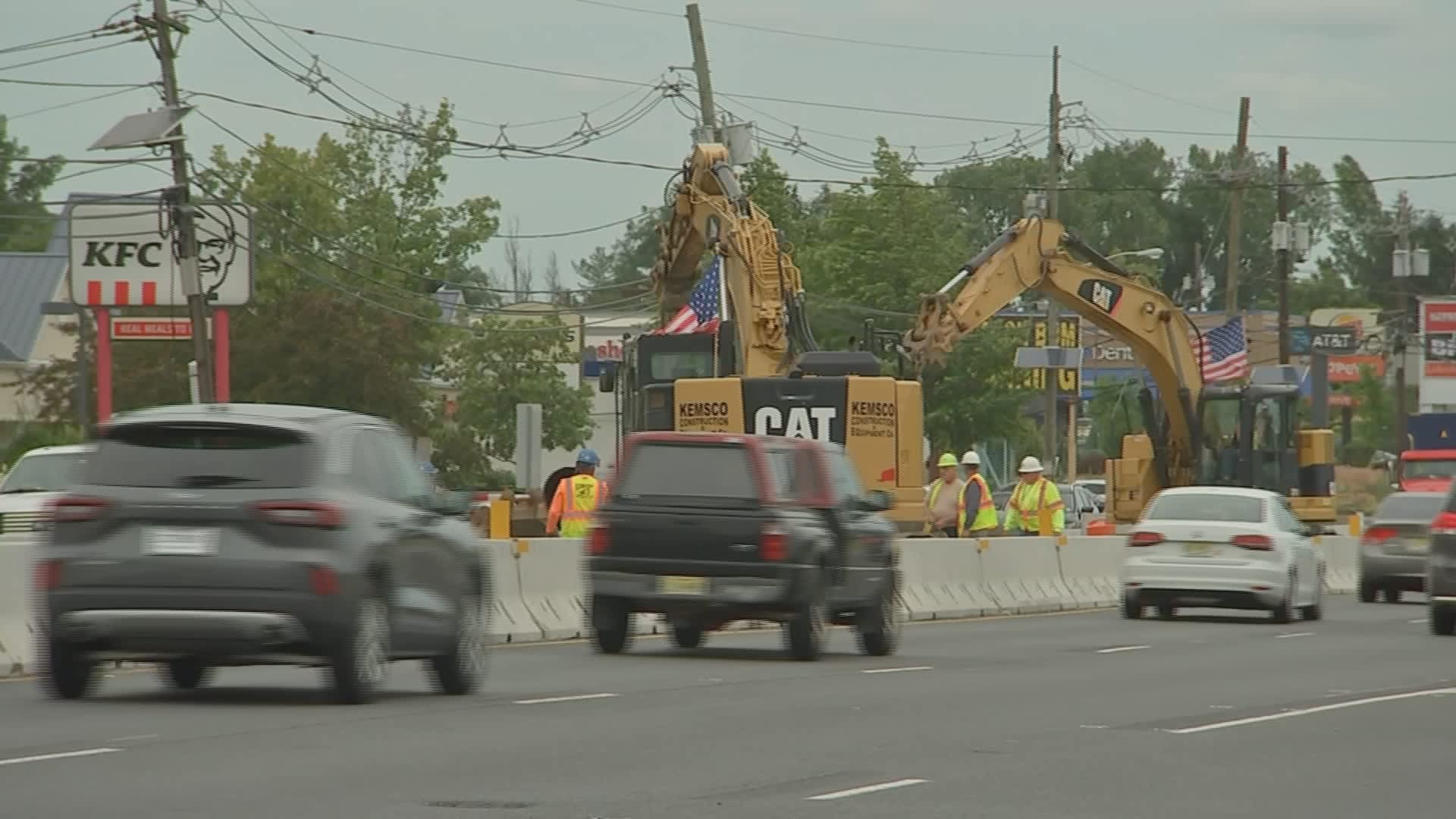
For instance, New Jersey’s Route 18 rehabilitation project, funded with over $86 million from the Infrastructure Act, relies on the outdated Atlas 14. This raises concerns, as the project’s flood guide does not accurately represent the current flood risk.
The New Jersey Department of Transportation confirms the use of Atlas 14 data but states that it also reviewed updated data. However, First Street argues that the updated data still relies on the same historical methodology as Atlas 14, rendering it ineffective for the present century.
Unfortunately, many other states use Atlas 14 for their infrastructure projects, despite its limitations. Salas, when asked about its continued use, cannot speak to the engineering decisions made by states.
While there are several climate risk modeling firms with extensive precipitation forecasting data, most charge for their services. First Street Foundation, however, is willing to provide its flood model and precipitation data to NOAA or any state for free to serve as a stopgap until the completion of Atlas 15.
In conclusion, the reliance on an outdated precipitation model poses a significant risk to infrastructure projects funded by the Biden administration’s Infrastructure Investment and Jobs Act. The discrepancy between Atlas 14 and more current rainfall data underscores the urgent need for an updated and comprehensive modeling solution that incorporates the effects of climate change. States should consider alternative modeling options to ensure their infrastructure projects are constructed to withstand future flood risks.
Denial of responsibility! VigourTimes is an automatic aggregator of Global media. In each content, the hyperlink to the primary source is specified. All trademarks belong to their rightful owners, and all materials to their authors. For any complaint, please reach us at – [email protected]. We will take necessary action within 24 hours.
