Dive Deep into Lake Effect Snow and Its Impact on Western New York
A lake effect snow warning has been officially announced for western New York, particularly Wyoming County, where 8 to 16 inches of snowfall is projected before Wednesday morning.
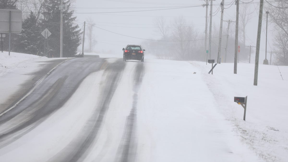
The alert, as relayed by the National Weather Service in Buffalo, will be in effect from 10 a.m. Monday through 7 a.m. Wednesday, covering Wyoming, Chautauqua, Cattaraugus, and southern Erie counties, adjacent to Lake Erie. Additionally, winds reaching up to 35 mph could cause challenging driving conditions due to blowing and drifting snow.
These areas are expected to experience the heaviest snowfall of up to 20 inches along the Chautauqua Ridge by Wednesday morning. The intense snowfall is anticipated to peak from Monday night through Tuesday, with potential hourly snow accumulation of 2 inches within the most snow-laden areas.
Lake Effect Snow Warning for Oswego, Jefferson, and Lewis counties
A similar lake effect snow warning has also been declared for Oswego, Jefferson, and Lewis counties, signaling a potential snow accumulation of 1 to 2 feet by Wednesday morning. This warning will be effective from 4 p.m. Monday through 7 a.m. Wednesday.
Rochester NY Weather Forecast: Snow Accumulation Predictions
Throughout the specified time frame, Rochester may encounter some lake effect snow, but minimal snow build-up—approximately an inch or less—is expected on Tuesday night, as per the Weather Service reports.
Temperatures in Rochester are estimated to range from the 30s during the day to the mid-20s at night. This falls below the usual late November high of 45 degrees in the area.
Understanding Lake Effect Snow
When it comes to regions like Rochester, Buffalo, and the Upper Peninsula of Michigan’s Marquette, discussions surrounding the phenomenon of lake effect snow come into play.
Lake effect snow, a marvel lasting from fleeting instances to spans of multiple days, evolves from narrow cloud bands formed as frigid, arid arctic air flows over a vast, comparably temperate lake.
As the cold air interacts with the unfrozen, “warm” waters of the Great Lakes, transferring warmth and moisture into the lower atmosphere, narrow cloud bands emerge and expand to yield impressive snowfall of 2 to 3 inches per hour or more, according to the National Weather Service.
Notably, wind direction plays a pivotal role in determining the specific areas receiving lake effect snow, potentially resulting in a heavy downpour in one spot yet sunshine just a mile or two across the opposite direction.
Buffalo primarily experiences lake effect snow originating from Lake Erie, with fewer yet more intense snow bands causing significant accumulation of up to 4 inches an hour. Conversely, Rochester encounters more frequent but smaller volumes of lake effect snow, often stretching over several days.
These snow occurrences typically transpire during late autumn and early winter before the lake surfaces freeze over, although lake effect snow may persist through the winter and into the spring if the lakes remain unfrozen.
Denial of responsibility! Vigour Times is an automatic aggregator of Global media. In each content, the hyperlink to the primary source is specified. All trademarks belong to their rightful owners, and all materials to their authors. For any complaint, please reach us at – [email protected]. We will take necessary action within 24 hours.
