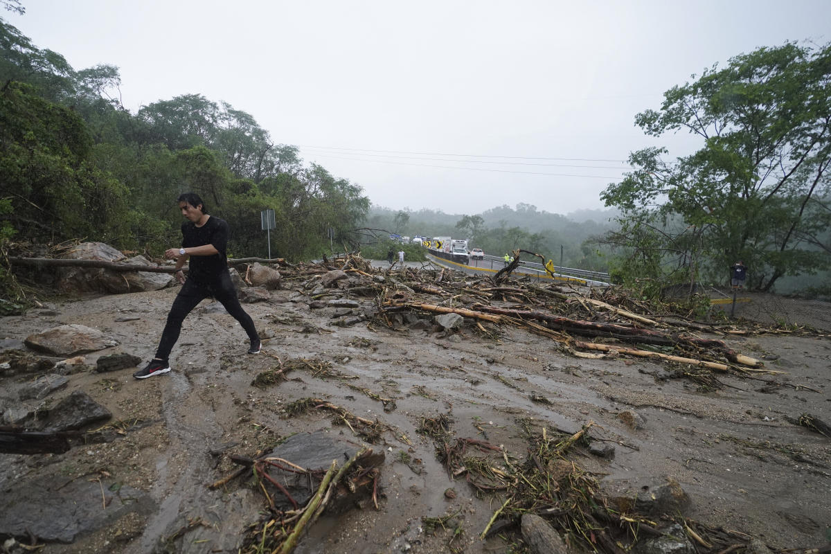
Hurricane Otis: The Unpredictable Monster Storm
Hurricane Otis transformed from a mild storm into a powerful monster in record-breaking time, leaving scientists perplexed as to how and why they failed to forecast its rapid intensification. Despite reliable computer models and experienced forecasters, Otis defied expectations, turning into an unexpectedly strong hurricane that struck the Mexican coast under the cover of night.
Prior to landfall, Acapulco was warned to expect a tropical storm just below hurricane strength. However, within a span of 24 hours, Otis reared its head with 165 mph (266 kph) winds, making it the most forceful landfall of any East Pacific hurricane. What’s even more astonishing is that Otis doubled its strength from 70 mph (113 kph) to 160 mph (257 kph) in just 12 hours, shattering records. While storms typically experience minor fluctuations in wind speed over a 12-hour period, Otis underwent a rare and exponential growth, gaining 30 to 50 mph (48 to 80 kph) in a single day.
University of Miami hurricane researcher, Brian McNoldy, described Otis’ unprecedented intensification as “just plain nuts.” This unusual occurrence aligns with a documented trend of hurricanes rapidly strengthening more frequently in recent decades due to warmer waters associated with climate change.
The inability to predict Otis’ behavior can be attributed to various factors – a lack of data on the storm and its surroundings, as well as a limited understanding of the underlying mechanisms that drive intense storm development. The scientific community remains uncertain about what triggers such rapid intensification, especially since meteorologists have made significant advancements in intensity forecasts in recent years.
MIT atmospheric sciences professor, Kerry Emanuel, acknowledged the failure of the predictive models, stating, “The models completely blew it.” Experts theorize that a mysterious, unidentified element may be at play. However, the consensus is that warm water serves as a crucial catalyst for hurricanes. The world’s oceans have been experiencing record-high surface temperatures since April, with the waters off the Mexican coast slightly warmer than usual. Beneath the surface, the ocean temperature exceeded normal levels, providing ample fuel for Otis’ rapid growth.
The deeper ocean’s heat content has been setting records globally, largely due to human-induced climate change. The oceans absorb excess heat generated by the burning of fossil fuels. McNoldy highlighted the timing of Otis’ intensification, noting that it coincided with a period when the ocean’s heat content is at its highest. In recent years, there has been a noticeable increase in cases of rapid intensification among hurricanes, with several storms rapidly gaining strength just before making landfall.
Although the link between individual storms and climate change is difficult to establish definitively, scientists argue that the current trend aligns with the expectations of a warming climate. Factors beyond just the temperature, such as low salinity, may also play a role in a hurricane’s intensity. The fresher surface water, caused by heavy rain, alters the temperature dynamics, allowing storms to extract even warmer water from beneath the surface. This feeds hurricane growth and can contribute to sudden intensification.
Another element that might explain the surprise intensification of Otis is the possibility that forecasters underestimated its initial strength. The East Pacific region lacks comprehensive data, with few buoys, land observations, or radars in the vicinity. As a result, forecasters rely heavily on satellite imagery, which sometimes fails to provide a complete and accurate view of a storm’s development.
Hurricane Otis serves as a stark reminder of the challenges faced in predicting the behavior and intensity of tropical cyclones. Scientists and experts are continuously working to unravel the mysteries behind rapid intensification events, armed with more tools and technologies to enhance their understanding. However, as the climate continues to evolve, the complexity of these storms may present further surprises.
Disclaimer: This content was created for search engine optimization purposes and may not reflect real-world events.


